Spatial Humanities: Open Street Map Participation
Murtaza Ahmed
Department of Digital Humanities, University College Cork
DH1002: Digital Tools and Methods I
Dr. Shawn Day
March 30, 2024
OSM Username: Murtaza A
Spatial analysis is an integral aspect of the Digital Humanities field and broader aspects of modern society, such as navigation and historical evaluation of a location. In this report, I will be critiquing and discussing the spatial data tools MapSwipe and OpenStreetMap in regards to their application and design.
First, I will begin by assessing MapSwipe, a mobile application that allows users to contribute to global humanitarian projects by analysing satellite imagery from around the world. “MapSwipe harnesses the collective strength of volunteers to actively contribute to geospatial data projects. From identifying infrastructure to tracking environmental changes and validating map data, MapSwipers help improve map data across the world.”1
I used MapSwipe quite extensively and I had an overall positive experience with it. I downloaded the app and read the tutorial. The controls were easy to use and convenient. I enjoyed the simplicity of the UI and the tutorial was apt in explaining the objective of each task.
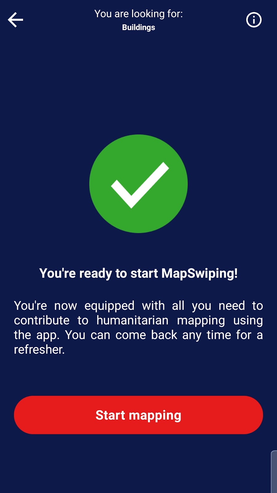
I then completed the tasks for a handful of projects. I started by looking for buildings in the Alto Molocue province in Mozambique, which is quite an intriguing endeavour to begin with.
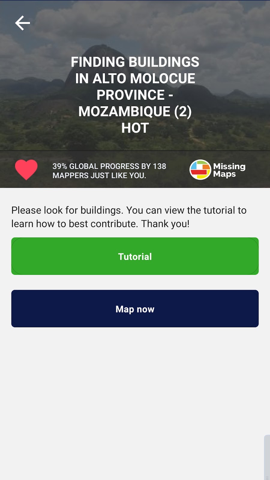
It was an interesting realisation that I was collectively mapping with hundreds of other users, complete strangers working together for a singular goal. There was a sense of belonging and solidarity that came with doing this activity, knowing that it would help even in the miniscule definition of the word.
Another example of a “project”, as dubbed by the app, was identifying buildings in East Sepik, Papua New Guinea after a magnitude 6.9 earthquake this year.
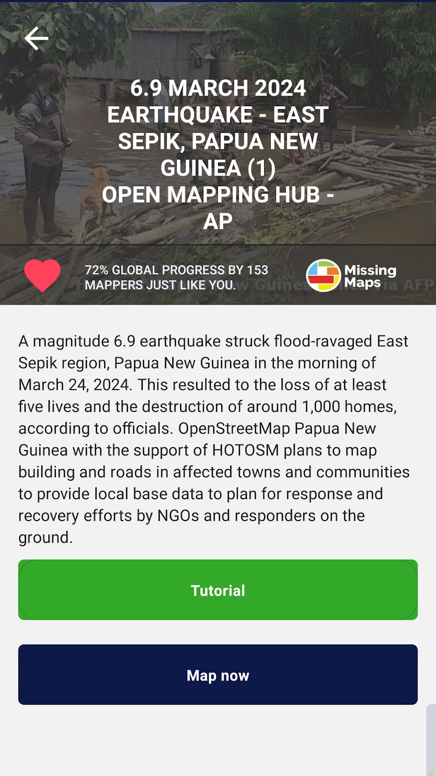
This project was helping real people in need after a tragic incident, and to some extent my enthusiasm for continuing to use this app extended past this assignment and instead shifted to giving my time and effort to helping even just one person with my contributions.
A few more examples of the work I participated in are shown in the pictures below, along with screenshots of the app in use.
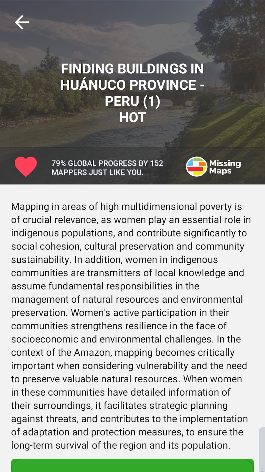
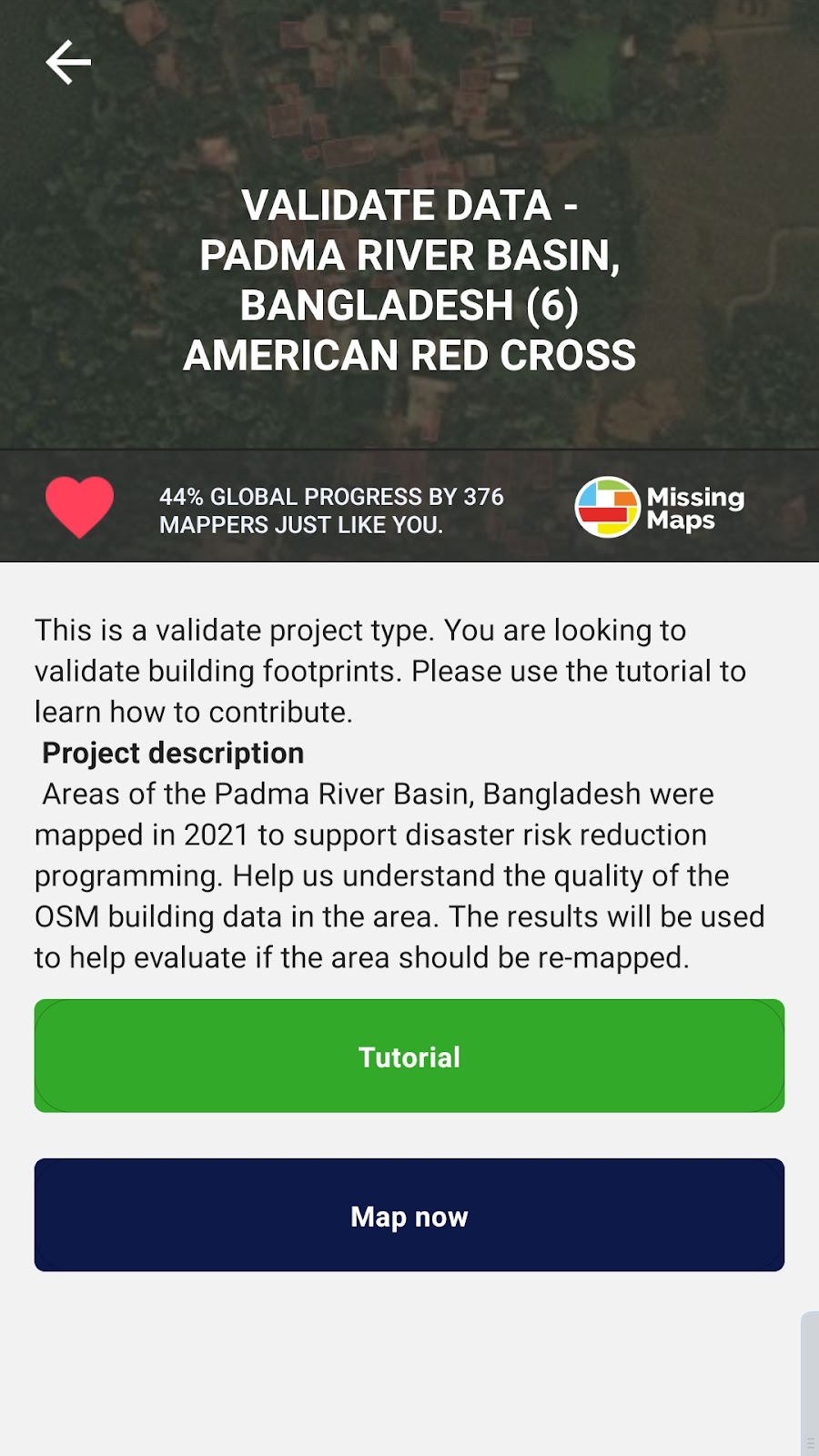
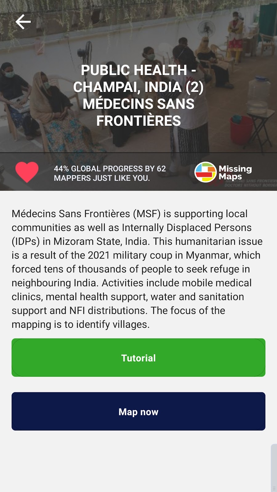
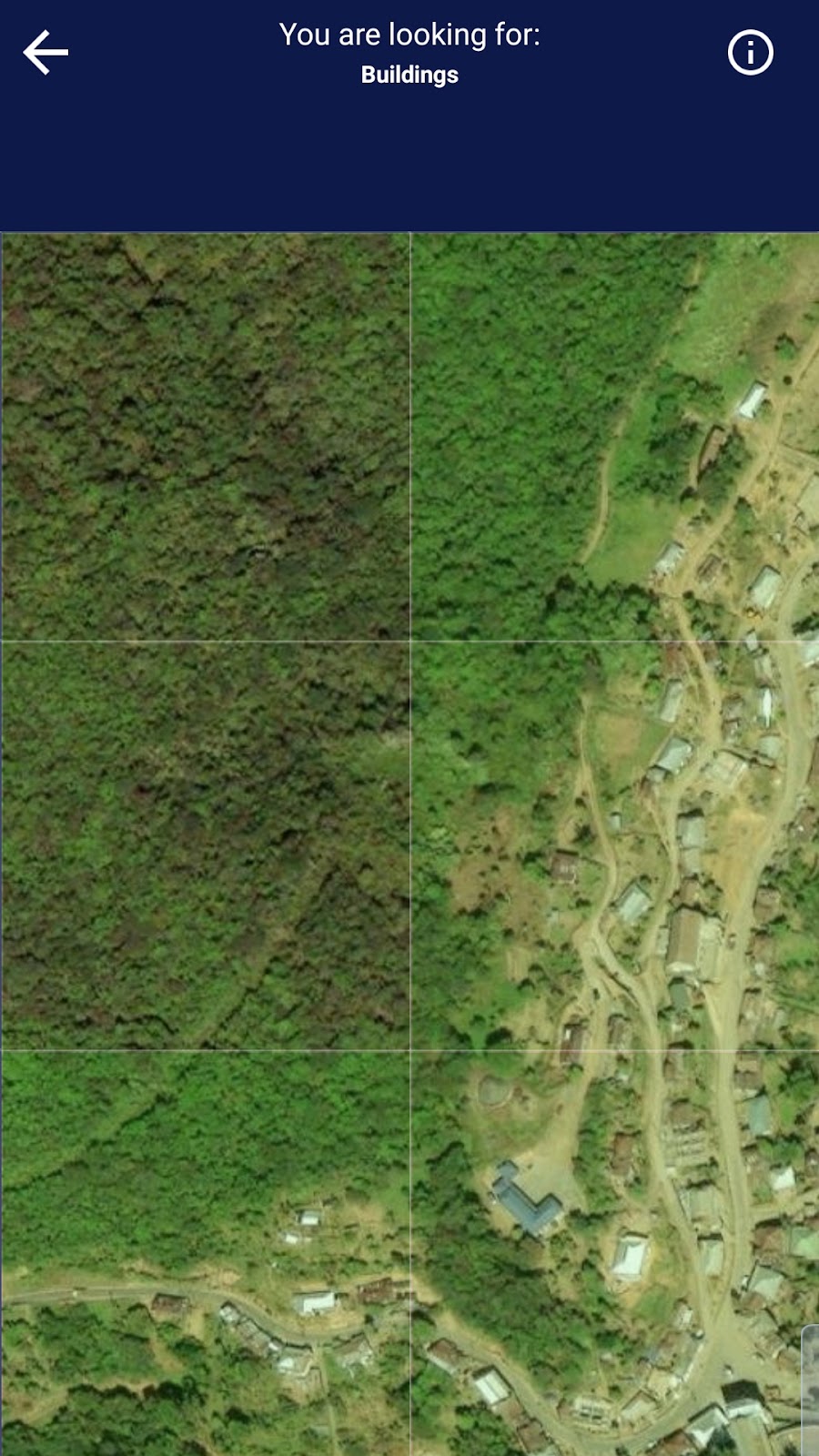
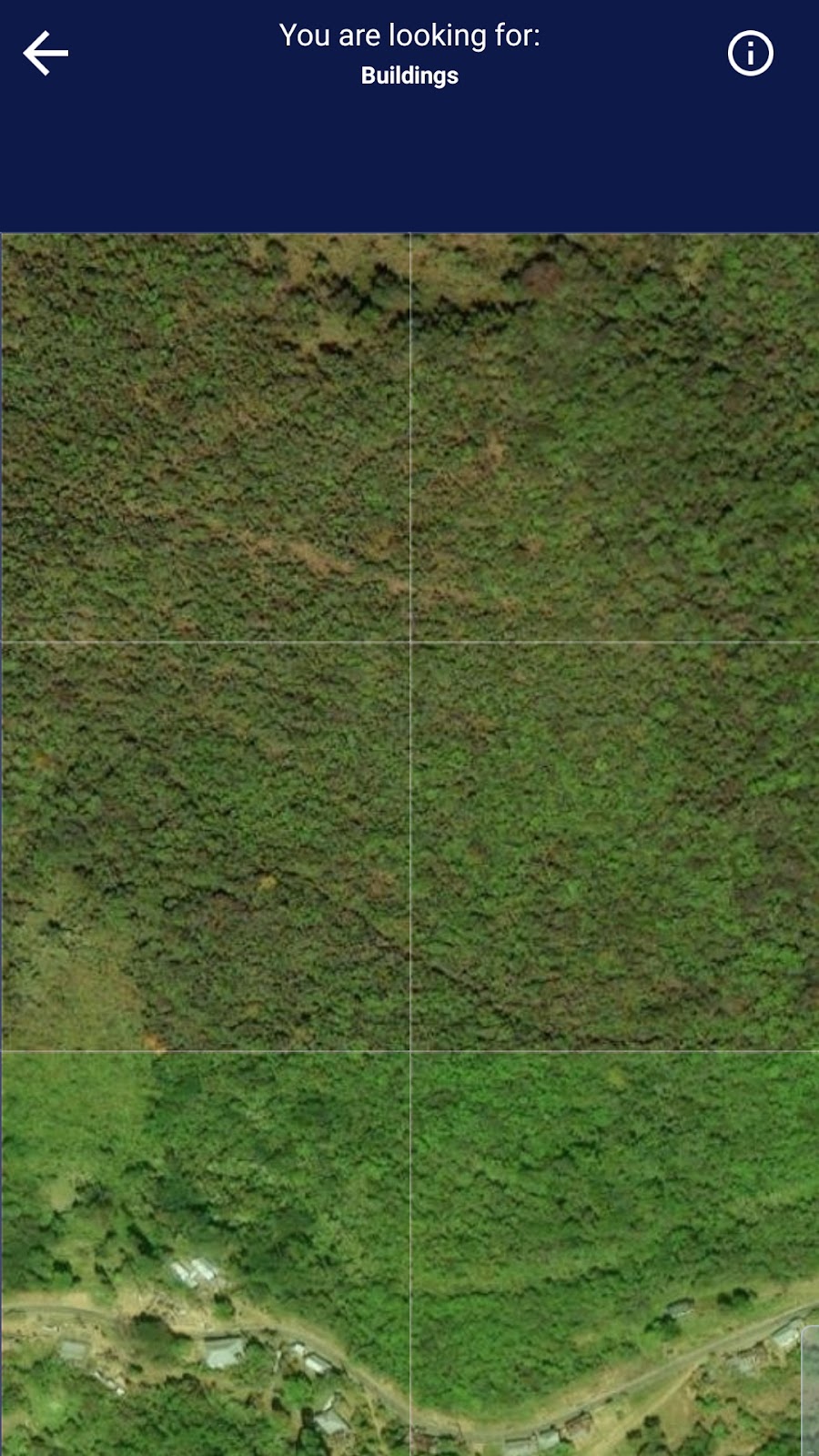
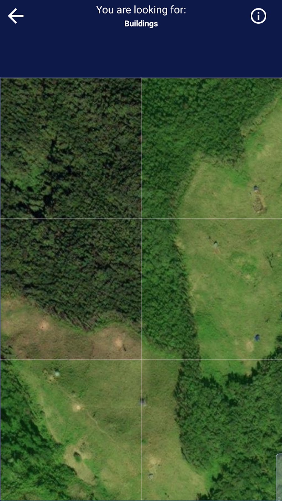
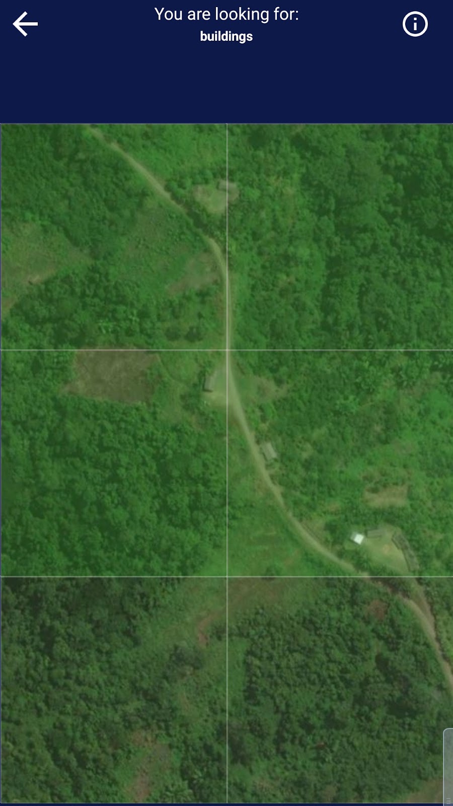
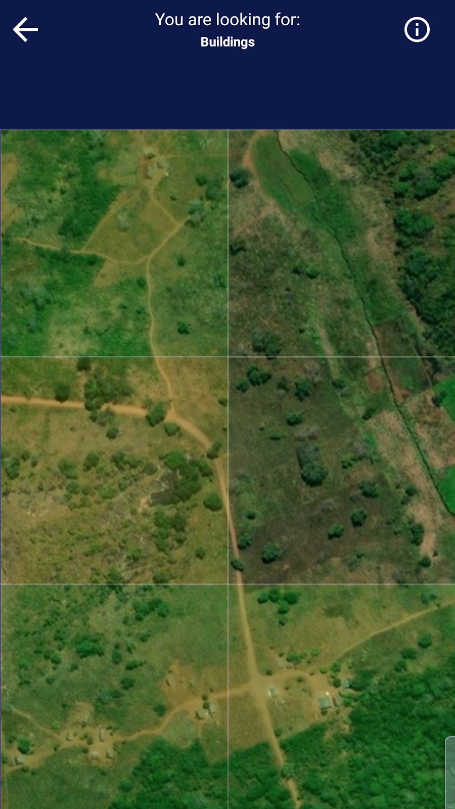
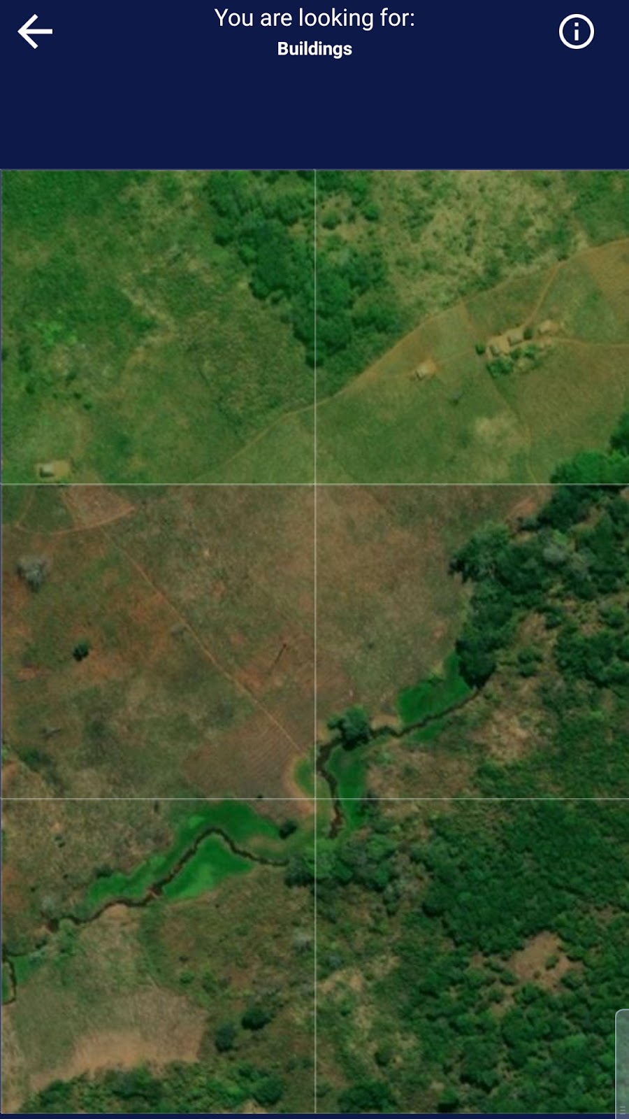
It’s important to realise when dealing with spatial data analysis that not finding anything (buildings, for example) was still good data for the project. This was a realisation that I myself was making when I started mapping because of how few buildings I was finding in the beginning of the projects.
It was pleasant to help even from across the world, one of the key appeals of this app, especially organisations like the Médecins Sans Frontières.
In my overall experience with MapSwipe, I found it to be comfortable to use, easy to learn, morally fulfilling, and efficient.
OpenStreetMap is an open-source, online global mapping tool that allows users from anywhere in the world to map and denote locations in an area, “OpenStreetMap is a big online slippy map, a massive database of geographic information, a community of mappers, an opensource project, the one truly OpenData project for Ireland, a resource for researchers, an API for app developers who need a map, bubblewrap for the obsessed… all the above.”2
My experience with this tool originated in class and began with me making very small additions to my current local area. This was a simple process to learn, both through the helpful and short tutorial, and simple controls of the tool. I had no prior experience with this kind of software so I was pleasantly surprised to discover how beginner-friendly the app was.
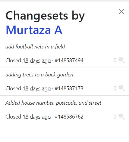
Aside from these minor contributions, I was struggling to find things to edit or incorporate, so I moved the mapping location to my childhood in a nearby town an hour away. There, I found many things that needed to be marked down and annotated, as the area is quite small and technologically “unimportant”.
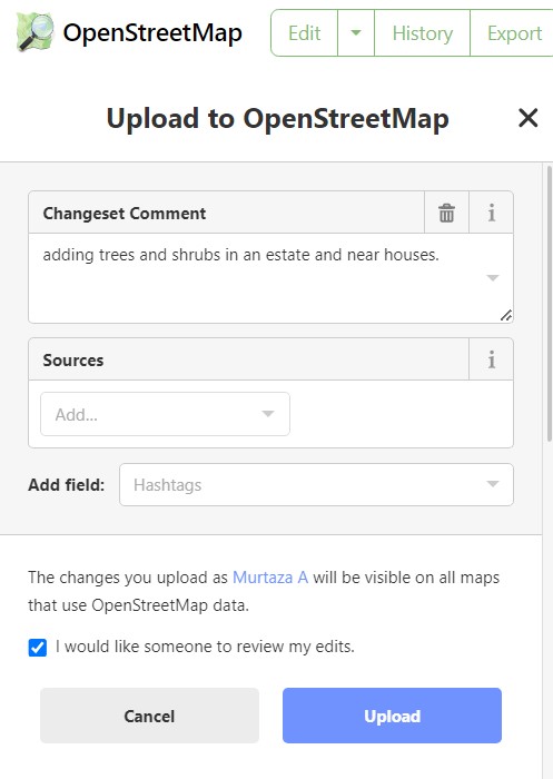
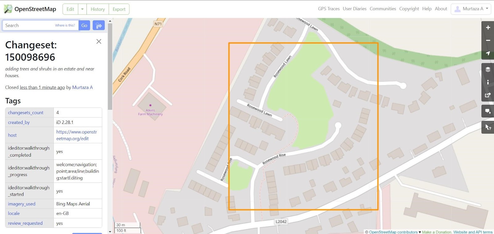
While it was fascinating to work in an international setting with MapSwipe, I found that I did not wish to continue that trend when working with OpenStreetMap, or OSM for short. It’s incredible to be able to map anywhere you want without any costs or much skill or experience but I felt that contributing to my own local community through this assignment was gratifying. The actual process was easy to do and I found that using keybinds enhanced the procedure of adding things with much efficiency and simplicity.
I especially enjoyed mapping my old estate as during the process, I felt many beloved memories flashing into my mind, related to the place. This is why spatial analysis can be so effective: locations carry memory. Whether it be a cultural site or simply your old childhood home, destinations can evoke strong emotions and provide insight as to how life may have been in a previous time.
It also allows for comparison of an area that has changed, perhaps to be analysed for future predictions or discover any kinds of patterns or reasoning behind the changes. Spatial analysis is still a growing field despite its long history and impact because of advancements in technology and open access to tools such as MapSwipe and OSM.
Personally, I have learned a great deal about mapping from performing the tasks outlined in this assignment. I was not aware of the lenient barrier of entry that spatial analysis has provided. It was simple to get started and it’s not time consuming so I can see myself continuing using an app like Mapswipe in my spare time or occasionally logging onto OSM to check up on my local area or even using it when abroad.
Mapping is a very important part of both human history and current society in the way that we use maps today. It is integrated into our society, if we consider things like bus routes, Uber, food delivery services, checking an area for house purchasing, navigation, and cultural heritage.
My own contribution to spatial analysis, while minor, becomes important if one considers these changes as a part of a movement and network of mapping. Each contribution to MapSwipe and apps like it accumulate to make a drastic and real effect that can have a genuine impact on people. OpenStreetMap is incredibly expansive and revolutionary in the aspect that it’s a peer-reviewed mapping tool that allows you to map anything you would like to.
My participation in these projects can be seen as an endeavour to encourage development for my area and to recognise it to be a place that is striving for advancement. If my level of work could be replicated or my own work continued, it would give a much more accurate representation of the local area, If this could be utilised or shown as a sign of initiative to any kind of local authority, then it might lead to some form of progress in terms of architectural or geographical innovation.
I would like to continue working with these apps to further not only my own understanding of spatial analysis and processing geographical data, but to make some semblance of a difference in the world through my work. It is possible that I study mapping further for my own interests and career as a Digital Humanities student as I imagine finding an occupation in a growing field like spatial analysis.
I could apply what I’ve learned from this assignment in any future project that involves mapping or some form of data processing. The skill of visual mapping analysis that I have learned from this project can have many uses in an academic setting. Interpreting these kinds of data for a project of any kind is beneficial for productivity and excellence.
Overall, spatial analysis is a fascinating subject and both MapSwipe and OpenStreetMap are incredible tools for mapping and completing geographical tasks. Both tools were easy to use, well-designed, and morally uplifting. I hope to advance my skills with both apps and share them with people who may be interested in that aspect of cultural heritage, technology, or both. I thoroughly enjoyed working with these applications and learning how to use them, and it was a good experience to help out with humanitarian issues.
Works Cited
- “MapSwipe.” Mapswipe.org, mapswipe.org/en/. Accessed 11 Apr. 2024.
- About – OpenStreetMap Ireland. www.openstreetmap.ie/about/. Accessed 16 Apr. 2024.